
Hanging Stone - Peak District Walk
Tuesday 1st March 2011
I had planned on doing this walk in January but a reoccurrence of my back injury meant it was delayed for a couple of months, today's weather more than made up for the delay. It was a combination of work and pleasure today as I was writing up the route for one of the magazines I supply walks for.
Start: Gradbach car park (SJ 9986 6622)
Route: Gradbach car park - Dane Valley Way - Danebridge - Hanging Stone - Lud's Church - Gradbach car park
Distance: 6 miles Ascent: 344 metres Time Taken: 3 hours 55 mins
Terrain: Good, but very muddy paths.
Weather: Warm and sunny.
Pub Visited: None Ale Drunk: None
Approaching the youth hostel and the hill that I'm going to both walk around and over comes into view.

The Dane Valley Way track is easy to follow.

River Dane.

Leaving the woods and Hammerton Knowl comes into view.

Looking back towards Midgley Hill and this tree dominates the view.

The bridge at Danebridge.

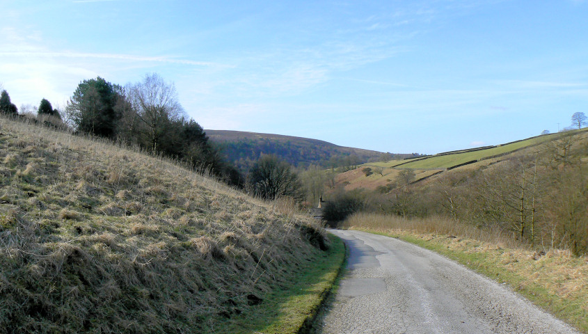
Heading towards the Hanging Stone and the transmitter on Croker Hill comes into view.

Hanging Stone.

Heading up to the Hanging Stone and my planned lunchtime spot is taken.

Looking across to the Roaches from Hanging Stone.

In the opposite direction Shutlingsloe comes into view.

A change of plan and I make an out and back trip to the top of the ridge along Back Forest for lunch with a view. As I left here I found a Canon camera lens cover, if it's yours get in touch.

Heading back into the woods with the view opening up to include Hammerton Knowl.

Another diversion to Lud's Church. I didn't venture in too far as it looked
very muddy at the bottom and I didn't fancy getting stuck in it.
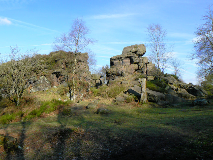
Unnamed rocks in Back Forest.

They are well worth exploring for this view along the valley to Turn Edge.
All pictures copyright © Peak Walker 2006-2023